
Dancing
in the Pacific
The
Trip – Day 10
Bakersfield,
California – Cupertino, California
Sea
Cliff State Park, The Coastal Highway, The Road to La Honda
335
miles
 |
| Along the coastal highway |
With
the shootout at the M6 Corral behind us, we headed toward our next
destination – our friends' wedding festivities. We had most of
central California between us and the rehearsal dinner we were
expected at that night. There are four main south-to-north routes we
could take up to the San Francisco/San Jose area, two fast and
relatively boring, if we were to believe Trip Adviser, one slow and
incredibly scenic, and one slightly boring, slightly scenic and not
so slow. We ended up on all four of them.
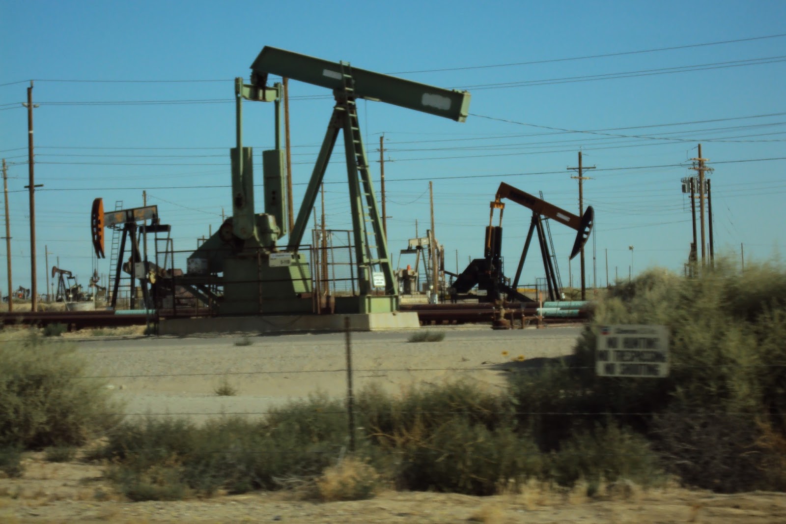 |
| Oilfields outside of Bakersfield |
We
were briefly on Route 99 and Interstate 5 and connecting roads
between the two. The California landscape was still underwhelming,
with oil fields and solar farms providing interest in a
not-the-Midwest sort of way. Eventually the arid desert-feel started
changing to a greener, agricultural feel. Roses and oleander of
assorted colors started to appear in the medians of the highways.
Fruit and nut orchards, often lined with palm trees, became more
frequent. Hand-written signs advertising avocados ten for a dollar,
baskets of strawberries and other fruits lined the roadway as we
drove through the most productive fruit and vegetable area of the
country. We zig-zagged over to Route 101 which follows in part the
historic El Camino Real (“The Royal Road”), a route early
missionaries used to visit their mission outposts between San Diego
and San Francisco since the 1700s. This highway, just east of the
Pacific coastal range, was more scenic and as fast as the previous
two roads we were on. We continued on Route 101 north of Monterey
where we headed west to the iconic Route 1 coastal highway. This
proved to be a very scenic, somewhat twisty, and occasionally
touristy-slow ride that was worth every minute of it. The road had
non-stop views of the Pacific Ocean and was studded by state beaches
all along its shoreline.
 |
| Along the "Royal Road" |
 |
| Sea Cliff State Beach |
We
decided lunch would be a “surprise adventure” at one of the
parks. We randomly picked Sea Cliff State Beach, south of Santa
Cruz, grabbed our backpack of hiking lunch food and drinks, and
headed to the beach. It was mid-day and crowded, the lower beach
parking lot full, so we parked on the cliff and walked the hundreds
of steps down to the beach. The beach had an RV camping area, a
large pier and what looked like a tanker, crashed and sunk at the end
of the pier. The tanker was covered with sea birds of all kinds,
using the ship as a taking off place to go diving for lunch in the
ocean. Some research on Wikipedia would later reveal that the
tanker, the SS Palo Alto, was deliberately brought and sunk there in
1929, the pier built to access the ship as an entertainment venue
with a swimming pool, a cafe, and a dance floor. People danced for
two years on the ocean before the company running the facility went
bankrupt, and the tanker was given over to the birds and fish as an
artificial reef. The pier to the ship was still in part accessible,
so we ate our lunch there, watching the pelicans dive in the water,
watching people fishing from the pier and watching others swimming in
the ocean. We walked down the beach and one of us stood bare-foot in
the water so that person could say they had stood in both the
Atlantic and the Pacific Oceans. (The other person did not want to
get their feet sandy...) We climbed up the stairs back to the car
and continued north on the coastal highway.
 |
| SS Palo Alto, sunk at the end of the pier... |
 |
| ...now covered with birds |
 |
| Which one of these people is standing barefoot in the Pacific? |
 |
| Wind surfers along the coastal highway |
We
stopped several times along the way at overlooks, drinking in the
rocky coastline along the ocean, watching windsurfers, until it was
time to head inland to our hotel to get ready for the dinner. The
distance between the coast and the main highway that would take us to
Cupertino was short, about 30 miles. I choose a straightforward
route between the two that turned out to be anything but straight.
On the map it appeared as two straight roads meeting at a right
angle in the tiny village of La Honda. In reality, it was an extreme roller coaster ride through a
dense, dark redwood forest with non-stop up and down and 10 mph
S-curves the entire way. My husband, who had cut his driving teeth
on the notoriously twisty Route 6 along the side of a Hudson highland
cliff overlooking the Hudson River near where he grew up, pronounced
this present route he was driving as the worst road – EVER! Even
the fact that we had passed – unintentionally - within a mile or
so of Neil Young's Broken Arrow Ranch did nothing to make the ride
more attractive to him.
We
finally arrived at the hotel, changed for the rehearsal dinner, and
set out for a large California ranch home nestled in a neighborhood
between suburban San Jose and the wooded hills we had been winding
our way through earlier. It was good to see familiar faces, family
of the wedding couple we already knew and family we met for the first
time that night. The dinner was outdoors, the night was perfect in
weather, temperature and lack of bugs, a combination I would learn,
though rare in the midwest, is not uncommon in the central California
area. A good ending to a long day...
Difficult
roads often lead to beautiful destinations - Unknown
Next:
A Redwood Wedding
The
Trip – Day 11
The
Wedding, Sanborn County Park, Saratoga, California
20
miles
and
The
Trip – Day 12
Cupertino,
California – Mariposa, California
159
miles
No comments:
Post a Comment